Twinning Open Data Operational

Funded within Horizon2020 Twinning programme

News

WHAT IS NEW IN TODO
01.06.2023, 07:37
One way to formalise future collaboration after the completion of the TODO project is to establish a research group. The project consortium partners…
31.05.2023, 22:26
As a part of the WP6, Task 6.2 - Establishment of collaboration structure, the Memorandum of Understanding was signed among all partners of the TODO…
17.04.2023, 08:21
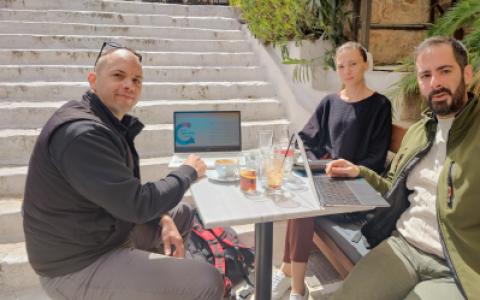
Faculty of Transport and Traffic Sciences’ final visit to the University of the Aegean in Athens (UAEGEAN) took place from March 28 to March 30, 2023…
10.02.2023, 07:40
We are pleased to announce that the members of the organising committee of the International Conference on Open Data (ICOD 2022), whose theme was "…
31.01.2023, 14:51
In Croatia, open data research and research using it are mostly understood as a concept encompassing one discipline and one domain, ignoring the fact…
07.12.2022, 14:47
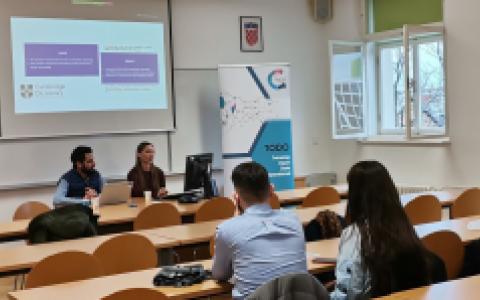
Pre-Conference Day of TODO ICOD was held on Monday (28.11.2022.) where a panel on fiscal transparency and workshop on high-value datasets in progress…
OUR PROGRESS

Project analytics

Progress within core work packages

WP 1: Management and Coordination
100%
WP2: Capacity building
100%
WP3: ESRs training and Joint Supervision
100%
WP4: Collaboration and Knowledge Sharing
100%
WP5: Dissemination and Outreach
100%
WP6: Sustainability
100%

Public domain

Content to which copyright does not apply, for example because it has expired or it never existed, is free for any kind of use by anyone and is said to be in the public domain. CC0, one of the licences of Creative Commons, is a ‘public domain dedication’ which attempts so far as possible to renounce all rights in the work and place it in the public domain. Source: ODH

Pseudonymization

Pseudonymization is a data management and de-identification procedure by which personally identifiable information fields within a data record are replaced by one or more artificial identifiers, or pseudonyms. Pseudonymization is suggested as one of the technical measures that can help with compliance with the European Union's General Data Protection Regulation and its obligations for data controllers to ensure secure processing of personal data.

Proprietary

 (i) Proprietary software is owned by a company which restricts the ways in which it can be used. Users normally need to pay to use the software, cannot read or modify the source code, and cannot copy the software or re-sell it as part of their own product. Common examples include Microsoft Excel and Adobe Acrobat. Non-proprietary software is usually open source.

Privacy

The right of individuals to a private life includes a right not to have personal information about themselves made public. A right to privacy is recognised by the Universal Declaration of Human Rights and the European Convention on Human Rights, and in the EU and the Member States of the EU it is recognised by the Charter of Fundamental Rights and is regulated by special regulation.

Predictive Modelling

Use of statistics to predict outcomes.

Source: Geisser, S.: "Predictive Inference: An Introduction", Chapman & Hall, 1993.

PDF

Portable Document Format, a file format for representing the layout and appearance of documents on a page independent of the layout software, computer operating system, etc. It is a file format used to present and exchange documents independently of software, hardware or operating systems. An open standard maintained by the International Organisation for Standardisation.  Originally a proprietary format of Adobe Systems, PDF has been an open format since 2008.

Open Standards

Generally understood as technical standards that are free from licensing restrictions. Can also be interpreted to mean standards that are developed in a vendor-neutral manner.

Open spatial data infrastructure

A spatial data infrastructure in which citizens, research institutions, private organizations and other businesses and non-governmental actors are recognized as key stakeholders of the infrastructure and in which public spatial data, but also private and citizen-generated spatial data is freely available to use for citizens, businesses and any other groups, without any restrictions.

Open Source Software

Computer software that is available in source code form: the source code and certain other rights normally reserved for copyright holders are provided under an open-source license that permits users to study, change, improve and at times also to distribute the software. Open source software is very often developed in a public, collaborative manner.

Open source

Software for which the source code is available under an open licence. Not only can the software be used for free, but users with the necessary technical skills can inspect the source code, modify it and run their own versions of the code, helping to fix bugs, develop new features, etc. Some large open source software projects have thousands of volunteer contributors.

Enabling a user-driven, sustainable and fair open data ecosystem through interdisciplinary research and education.

Delft University of Technology

Establishing the interdisciplinary approach in open data research towards addressing the societal, political and economic challenges.

University of the Aegean

Dealing with challenges and grasping new opportunities with reliable, up-to-date and easily accessible data to increase efficiency in planning, producing and delivering food to consumers.

Faculty of Agriculture, University of Zagreb

Information technologies drive open data to make government more transparent, science more visible and society more empowered.

Faculty of Organization and Informatics, University of Zagreb

Advancing technological foundations of open data as the cornerstone of an innovative society. 

Faculty of Electrical Engineering and Computing, University of Zagreb

Open traffic data provide reliable information for statistics, planning and real-time user information in interdisciplinary area. Vast amount of traffic data is essential for traffic and transport planning.
 

Faculty of Transport and Traffic Sciences, University of Zagreb

Geospatial data is one of the cornerstones of information society and the ongoing digital revolution. The vision of the University of Zagreb Faculty of Geodesy is realizing the full potential of the geospatial data - active research, promotion and education throughout the interdisciplinary approach.

Faculty of Geodesy, University of Zagreb

MOODLE